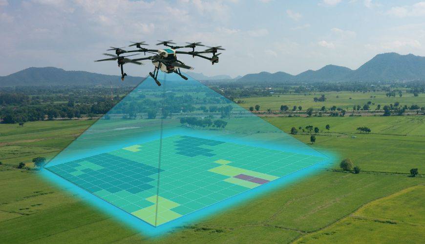
Topographic surveys with drones are a modern and efficient way of gathering information about the terrain. Drones are equipped with cameras and sensors that allow them to capture high-precision aerial images and measure terrain features such as elevation, slope, vegetation and waterways.
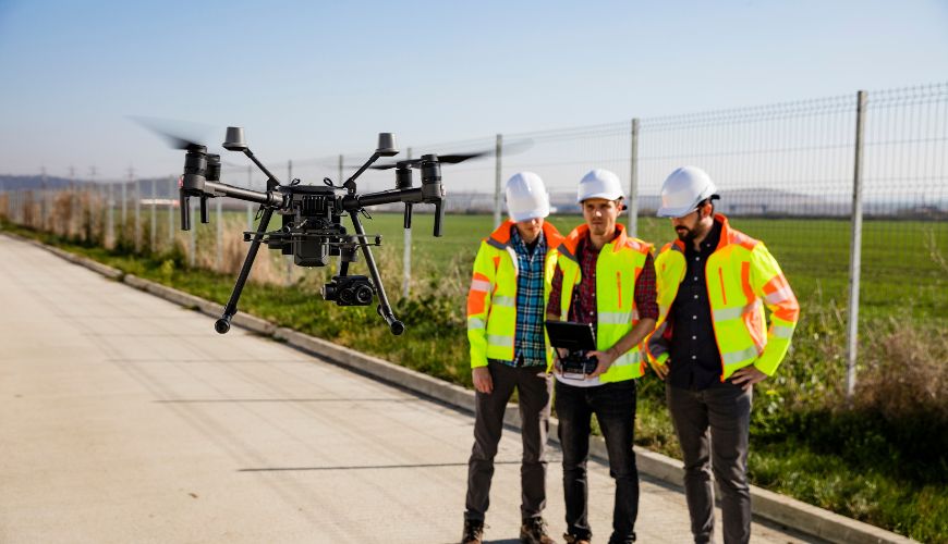
Topographic surveys with drones can only be carried out by professionals trained and authorized by ANAC ( National Civil Aviation Authority) to avoid any legal problems and/or accidents.


Contact Geonorth. We will be happy to answer your questions. We will try to respond as soon as possible.