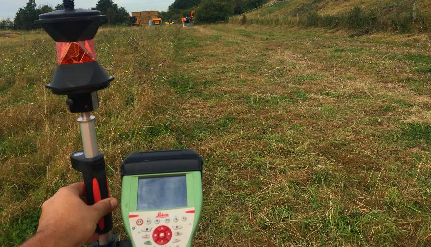
Topographic surveys are studies that measure and map the characteristics of an area. They include information about the terrain, such as relief, vegetation, the presence of watercourses, among other elements. Topographic surveys are used for various purposes, such as urban planning, environmental studies, construction of roads, dams, among others. They are usually carried out by surveyors and geographers using tools such as total stations, levels, GPS and drones.
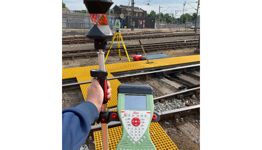
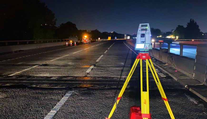
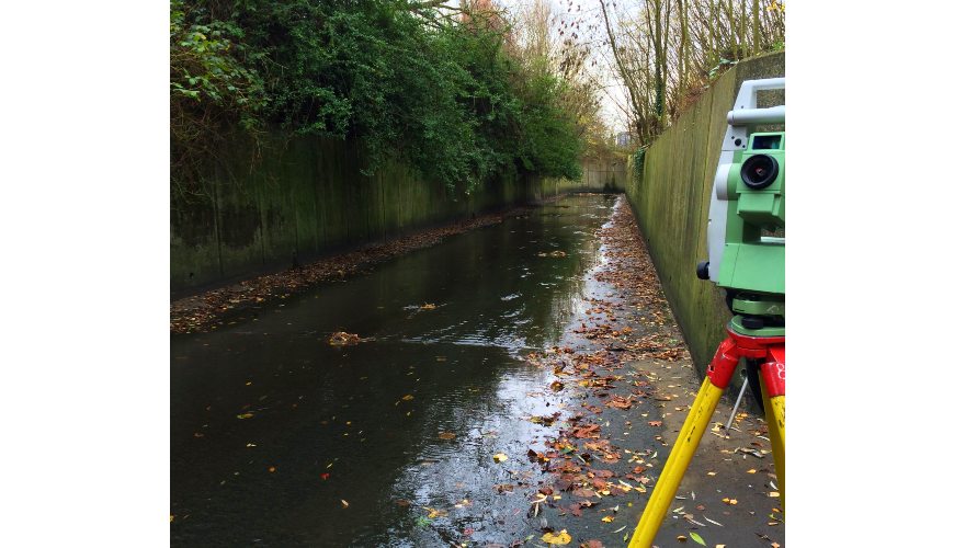
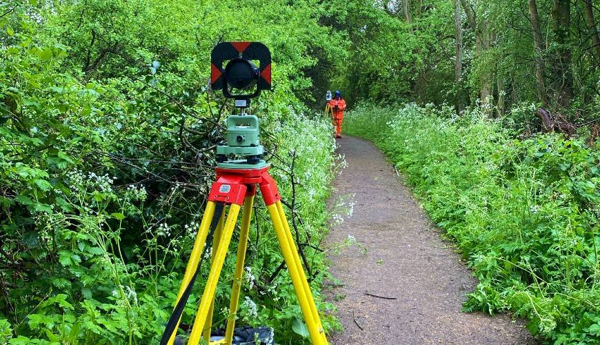
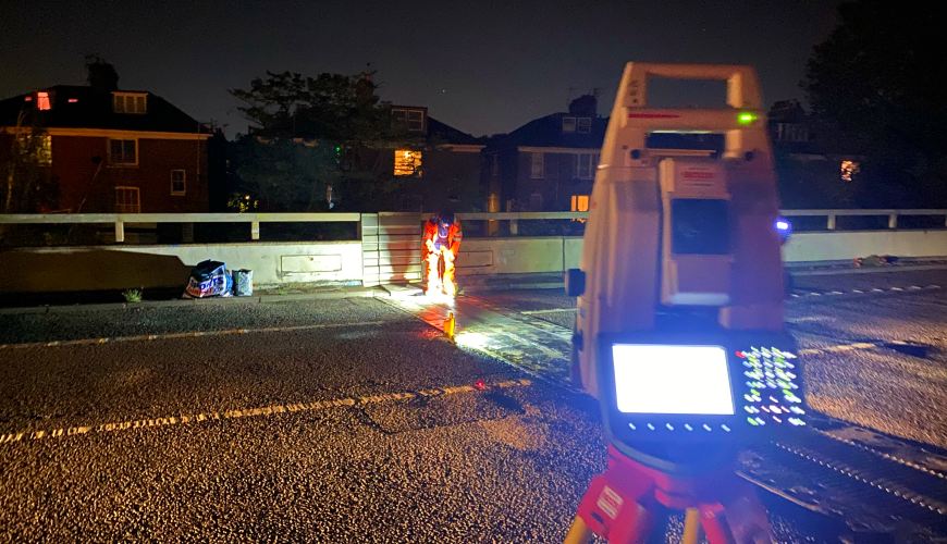
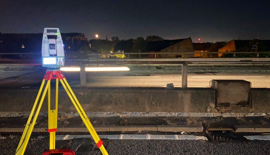
Topographic surveys are vital for the initiation of a vast number of projects. It is important for us that they are done quickly, in detail, accurately and with all the information requested by customers. At Geonorth we have a long experience, both nationally and internationally, in topographic surveys of all types of sizes in various sectors and industries.
Topographic surveys are essential in several circumstances, including:
In addition to what has been mentioned above, topographic surveys can also be used for cartography, toponomy, geodesy, and even aesthetic purposes such as landscaping.