Surveying Services

levantamento planimetrico

Topographical Surveys

At Geonorth we have a long experience, both nationally and internationally, in topographic surveys of all types of sizes in various sectors and industries.
Laser Scanning

Laser scanning and architectural surveys

Using 3D laser scanner technology and prismless measurement total station we can provide a solution for all kind of needs of our customers.

Aerophotogrammetric surveys (drone)

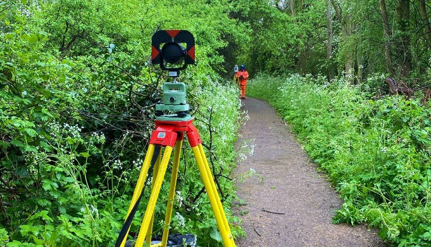
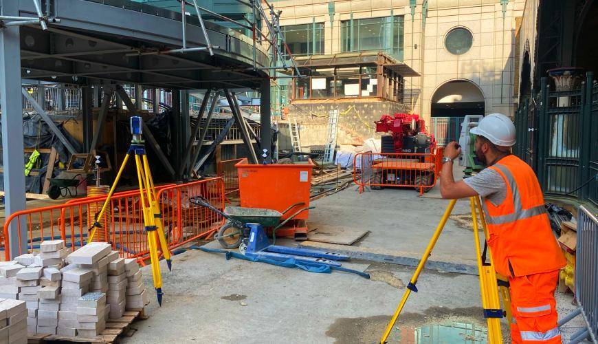
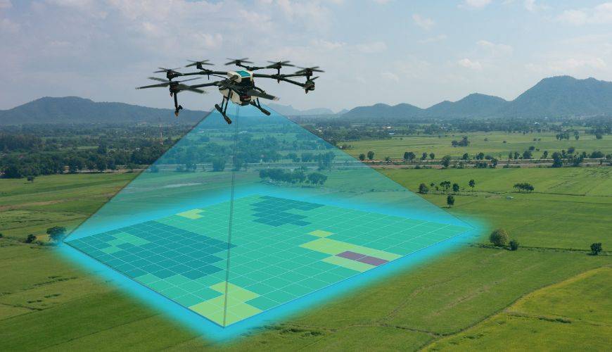
Topographic surveys with drones are a modern and efficient way to gather information about the terrain. Drones are equipped with low-level cameras and sensors that allow you to capture high-precision aerial images and measure terrain features, such as elevation, slope, vegetation and watercourses.
infraestruturas rodoviarias

Rail Infrastructure

We provide specialized surveys of railway tracks and infrastructure (stations, platforms, tunnels or structures adjacent to the track).
acompanhamanto e fiscalização de obra

Monitoring and supervision of works

The years of experience working alongside major construction companies at national and international level in reference projects have given a deep knowledge of construction processes, which allows the delivery of high quality work implementation services.
monitorização topografica

Monitoring

Monitoring gives customers the ability to identify and react to movement or deformation in a timely manner.
apoio topográfico

Topographic support networks

All projects, regardless of their size, depend on the quality of their topographical supports for their success.

Tell us about your project